


Galatz
The hinterland of the port-city

Author: ARDELEANU KONSTANTIN
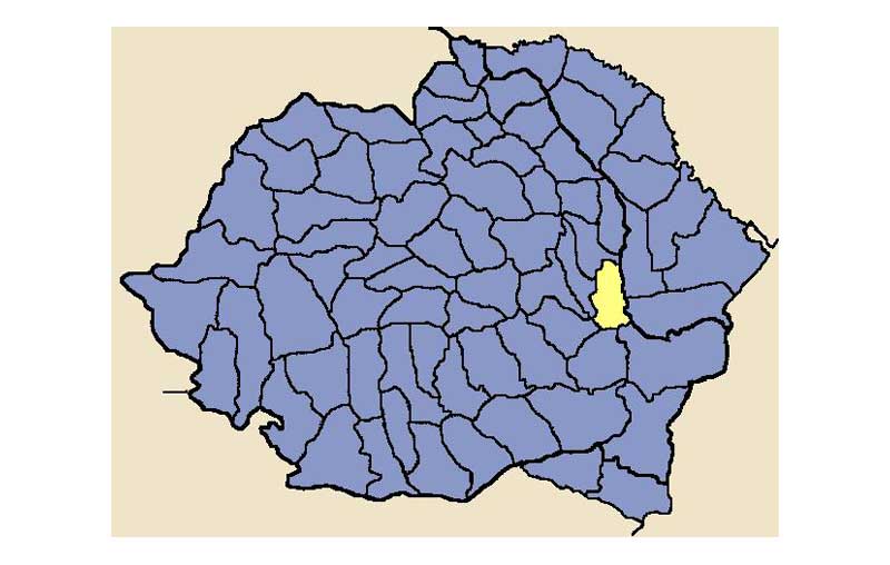
During the 19th century Galaţi was the capital of the county of Covurlui, a territory that naturally orbited around its only urban centre. By late 19th century the county had a total surface of 286,351 hectares, of which 37,237 hectares of forests and the rest agricultural land. The northern part of the county was a hilly area, whereas the rest consisted of fertile plains situated between the Sireth and Pruth Rivers, which also allowed profitable climatic conditions for the culture of grain. The county had a high density of smaller rivers, but also several large lakes, such as the Brateş, situated north of Galaţi[1]. Local inhabitants were mostly involved in agricultural works (26,894 of the 30,337 heads of family). The county had 111 villages and hamlets, organised into 37 rural communes[2]. The number of owners of large estates (over 100 falce or 148 hectares) was 95 persons, who owned 114,765 hectares or more than 40% of the county surface[3]. During the same period there were recorded 136,411 heads of animals in the county, with 44,552 cattle and 65,700 sheep. These data should prove the agro-pastoral character of the county and the fact that it fed its capital with their products.
However, the hinterland of Galaţi greatly varied during the 18th and 19th century due to political reasons and to the constructions of modern means of transportation. By late 18th century Galaţi was the largest port of the Lower Danube and the main outlet for exporting the supplies which the Romanian Principalities were compelled to send to the Sublime Porte. Thus, it was not only the port of Moldavia, but also a significant outlet of the neighbouring province of Wallachia. Moldavia lost several territories in the conflicts that ensued: the northern part of Moldavia or Bukowina was annexed by Austria in 1774, and the eastern part of Moldavia or Bessarabia was taken by Russia in 1812.
In 1829, when free trade was stipulated in the Treaty of Adrianople, Galaţi remained the outlet of Moldavia only, as Wallachia invested in its own port at the Maritime Danube, Brăila. Until the creation of modern Romania in 1859, the customs policy of the two provinces explicitly forbade the trade of grain, cattle and other important commodities between the two principalities, so Moldavia directed its entire production to Galaţi. In 1856, when southern Bessarabia was returned to Moldavia, its three agricultural districts (Cahul, Ismail, and Bolgrad) also greatly redirected their commerce from Odessa to Galaţi. However, the province was lost in 1878 and Galaţi returned to its older hinterland.
The construction of railways in Romania also did not favour Galaţi, as it virtually bypassed the harbour of Galaţi. Thus, it was easier to go to Brăila by rail from both Moldavia and Wallachia, and many producers sent their cargoes to the larger grain market of Brăila. In 1895 the province of Dobrudja was connected to Romania after the completion of the Cernavodă Bridge, and things greatly changed again, and it was now more advantageous to carry the goods to Constanţa: the fact that the Danube was frozen during the winter, the insufficient depth of the Sulina branch for large steamers, the taxes imposed at the Lower Danube by the European Commission of the Danube, etc.
Galaţi remained the outlet of a decreasing agricultural area, and a new railway that connected it to central Moldavia was only completed in 1912. However, it remained important for the export of timber, due to the fact that trees were cut down in the Carpathians and sent to Galaţi as raft carried by the Sireth River. Galaţi was also a large importation harbour, both for redistributing the commodities to the country and for processing them, as the city became one of the most industrialised areas of Romania.
Picture 2.2.1_1 Map of Covurlui County in Interwar Romania
Source:
http://upload.wikimedia.org/wikipedia/commons/f/f3/Judetul_Covurlui.PNG
[1] Moise N. Pacu, Cartea judeţului Covurluiu. Note geografice, istorice şi în deosebi statistice (Bucharest: I. V. Socec Graphical Establishment, 1891), 1–6.
[2] Ibid., 20–28.
[3] Ibid., 85–86.
References
Web sites:
Archival sources:
Serviciul Judeţean Galaţi al Arhivelor Naţionale (The National Archives, Galaţi Branch), Prefectura Judeţului Covurlui (The Prefecture of Covurlui County), files starting with 1848.
Bibliography:
Pacu, Moise N., Cartea Judeţului Covurlui. Note geografice, istorice şi în deosebi statistice [The Book of Covurlui County. Geographical, Historical and Mainly Statistical Notes] (Bucharest: Stabilimentul Grafic I. V. Socecu, 1891).
Back